


Extremely Rare Surveys by a 19 Year Old George Washington For Family Land Given by Thomas Lord Fairfax


Formerly property of the great early 20th century collector Helen Fahnestock Hubbard
This land was among a large parcel granted to Washington’s step-brother, Lawrence Washington, and later sat adjacent to Happy Retreat, the home of Washington’s brother, Charles Washington
Between the ages of 17 and 20 Washington was a practicing professional land surveyor. During that time he made more than 190 surveys, nearly all...


This land was among a large parcel granted to Washington’s step-brother, Lawrence Washington, and later sat adjacent to Happy Retreat, the home of Washington’s brother, Charles Washington
Between the ages of 17 and 20 Washington was a practicing professional land surveyor. During that time he made more than 190 surveys, nearly all of them for grants of new lands on the frontiers of Lord Fairfax’s Northern Neck Proprietary. Frontier surveying was a lucrative business in Virginia at the middle of the eighteenth century, as swarms of settlers and speculators laid claim to the colony’s western lands, both inside and outside the Northern Neck. Before 20 July 1749, Washington received a commission from the president and masters of the College of William and Mary appointing him surveyor of newly formed Culpepper County. William Fairfax, who attended council in Williamsburg from March to May 1749, secured the commission for him. Washington’s surveying was done almost entirely in the Shenandoah and Cacapon Valleys of Frederick County, which until 1753 embraced all of the Northern Neck Proprietary west of the Blue Ridge Mountains. It is not surprising that GW chose to survey on the frontier, as on the other side of the Blue Ridge, in Frederick County, people were claiming many vacant tracts in 1749, providing a great deal of lucrative business for a surveyor.
The platting of the surveys and the computation of their acreages occurred after the end of the surveying trip, usually at Ferry Farm or Mount Vernon. The acreage of a survey, once determined, was usually inserted into the field book to be part of the original record, but plats, with a few early exceptions, do not appear in the field books, being drawn only for the finished surveys. All of Washington’s plats were carefully drawn to scale in ink with standard drafting instruments. The list of Washington’s professional surveys is based for the years 1749 to 1751, primarily on Washington’s field books and his 1749 notebook, and for 1752 primarily on finished surveys that have been found. He stopped surveying in late 1752.

Lawrence Washington was the half brother of George Washington and fourteen years his senior. He was the first of the family to live in the house known as Mount Vernon which he named after British Admiral Edward Vernon, his commanding officer in the War of Jenkin’s Ear. Lawrence died in July 1752, and left his estate to George. Among his land acquisitions was acreage in Frederick County on October 17, 1750, including what is today “Happy Retreat” or Charles Washington’s home.
Gersham Keyes was originally from Massachusetts, and he began acquiring land in Virginia beginning in 1750. He had a number of transactions with Lawrence Washington, who was then active in buying and selling land. Lawrence promoted his brother George’s career as his surveyor, and Keyes must have liked the younger Washington too, as he used his services as well. Keyes died in 1762.
This is a very rare survey of George Washington, complete with drawings, for one of Lawrence’s transactions with Keyes. It is our first ever Washington survey.
Autograph Survey Signed, “G. Washington,” no date but 1751, with two manuscript plat maps in holograph, detailing his survey of two tracts of land on Evitts Run in Frederick County, VA, for Gersham Keyes, one containing 109 acres, and one 100 acres, including a tract adjoining one belonging to Lawrence Washington.
First two lines at upper left, not in Washington’s hand, describe conveyance “by deeds from Mr. Lawrence Washington to Keyes” in an unknown hand. The date of this transaction is given as August 14, 1751, which means it was added to the document later.
Below that are drawings of two tracts, one with “area 100 acres” and the other “2nd, area 109 acres.”
The text in Washington’s hand begins, “Pursuant to Warrant from the Proprietor’s office…I have surveyed…Keyes two tracts or parcels of land in Frederick County…adjoining his patent and bound as followeth.”
“1st Tract
“Beginning at three red Oaks on the No. side his patent Nath[anie]l Thomas’s corner and extended with his said Patent Line No. 72 W 92 poles to a large red Oak his c[orne]r also c[orne]r to Major Lawrence Washington thence with the said Washington’s Line No. 107 E[as]t 2070 po[les] to…red oaks and two…on the edge of the barrens thence East 70 poles to a station…in the barrens South 1 or W. 66 poles to another stake in the barrens by a road Washington’s c[orne]r in Nath[anie]l Thomas Line thence with his Lines West 51 poles to a red Oak and white Oak finally South 240 poles to the Beginning containing One hund[re]d Acres this 6th of April l1751.”

Then the “2nd Tract” follows.
“Beginning at a small…on the So. side his patent and West side Evats [Evitt’s] Marsh, William Davis’s corner and extended with his Lines So. 45 W’t 1007 poles to a red Oak on the side of a hill No. 70W 140 poles to a black Oak and white Oak on the No. side a glade No. 45 W’t 22 poles to a white Oak and…in this Davis’s Line thence No. 107 E’t 63 poles to a corner of Mr. Keyes’s Patent L[and] and finally with that Line So. 72 E’t 212 poles to the Beg[ining]: con[tainin]g One hund’d and nine acres this 6th of April 175[1]. Ex[ecute]d by G. Washington.”
He notes others interested in the transaction – Robert Worthington, Michael Sweim, and William Davis as laying out “66 for both tracts.”
On the verso it states in Washington’s hand, “Gersham Keyes, Plats for two tracts.” It then lists “Warrants paid 100 acre, 109 acre. All fees etc. paid for the 109 acres; it to be drawn.” It is tipped into a loose paper border no affecting the text.
These very surveys are mentioned in the published papers as:
“6 April 1751. For Gersham Keyes. 100 acres near Evitts Run, part of the tract of 1,106 acres that GW surveyed for Lawrence Washington on 24 August 1750 and was granted to Lawrence Washington on 17 October 1750. The 100 acres were conveyed to Gersham Keyes by a deed from Lawrence Washington on 14 August 1751.
6 April 1751. For Gersham Keyes. 109 acres on Evitts Run. Granted to Gersham Keyes, 25 March 1761.”

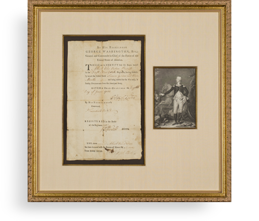
Frame, Display, Preserve
Each frame is custom constructed, using only proper museum archival materials. This includes:The finest frames, tailored to match the document you have chosen. These can period style, antiqued, gilded, wood, etc. Fabric mats, including silk and satin, as well as museum mat board with hand painted bevels. Attachment of the document to the matting to ensure its protection. This "hinging" is done according to archival standards. Protective "glass," or Tru Vue Optium Acrylic glazing, which is shatter resistant, 99% UV protective, and anti-reflective. You benefit from our decades of experience in designing and creating beautiful, compelling, and protective framed historical documents.
Learn more about our Framing Services

